While on the Lower Mississippi River steamboats did already run for more than 15 years, it was 1832 until an expedition of Henry Rowe Schoolcraft first discovered what until today is considered as the source of the Mississippi River – Lake Itasca. Still is up to dispute, but in general, Lake Itasca counts as the rivers’s source.
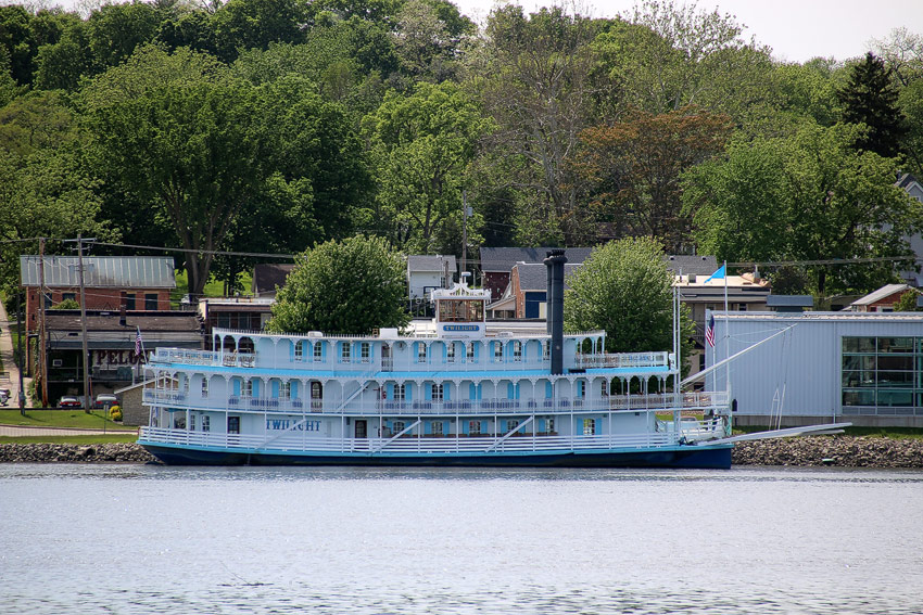
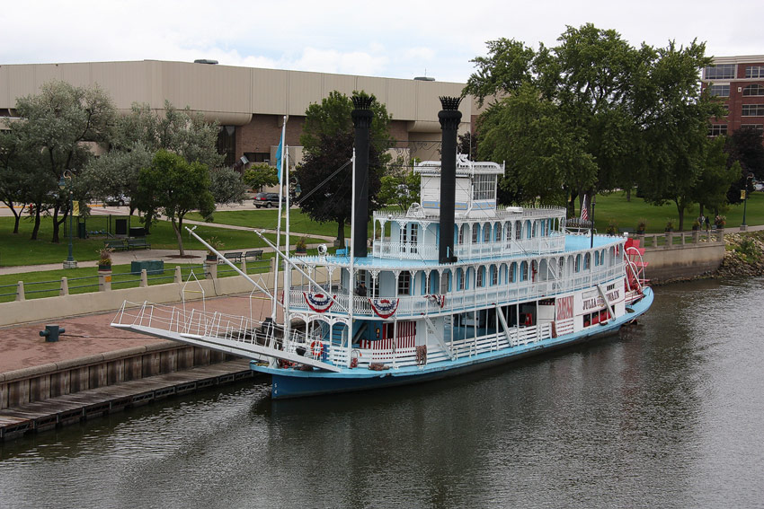
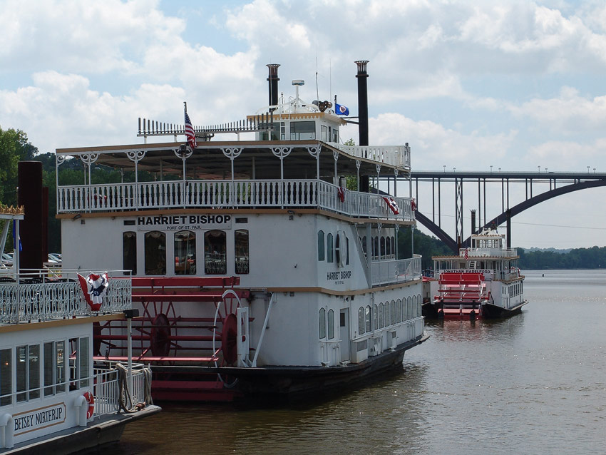
The Upper Mississippi River, more than 1,300 miles long, reaches from Lake Itasca to the confluence of the Mississippi River and the Ohio River at Cairo, IL. Until around 1930 there had been no locks and dams while today 29 locks and dams are guaranteeing a 12 feet deep navigation channel throughout the year for the towing industry downriver from Minneapolis / St. Paul.

Looking for River Conditions and Flood Forecasts? Check our river conditions and flood forecasts resources service.
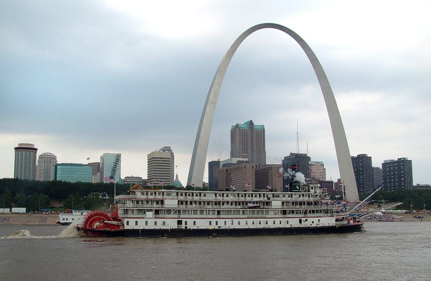
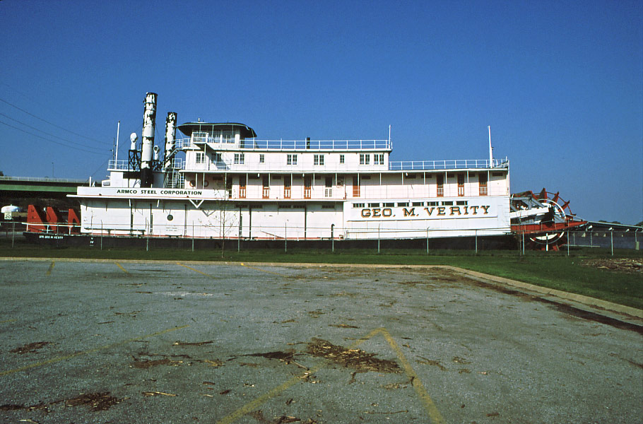
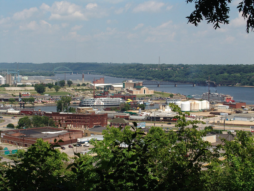
The first steamboat to arrive at St. Louis was the ZEBULON M. PIKE on August 2, 1817. St. Louis grew fastly and became one of th emost important cities along the rivers. At that time, north of St. Louis was pure wilderness until in 1823 lead mines started to operate near Galena, IL. The VIRGINIA was the first steamboat that far up the river.
Book recommendations:
- Steamboating on the Upper Mississippi River, William J. Petersen
- Old Times on the Upper Mississippi, George Byron Merrick
- Upper Mississippi River History, Captain Ron A. Larson
- Backing Hard into River History, James V. Swift